Mosher Hill Falls
Mosher Hill Falls is a location that I’ve photographed many, many times as it is only a few miles from our camp on Porter Lake in Strong, ME and is easily accessible year round.
Getting There
The falls are located in Farmington, ME on the Mosher Hill road. From the South come in town Farmington on route 4 and turn right at the light onto Broadway. Head toward Industry on route 43 for just over 3 miles and the Mosher Hill road is on the left. Drive the Mosher Hill road for another 3 miles to a stream crossing via a metal culvert. The road turns to dirt shortly before this crossing. At the stream crossing there is a small pull out on the left that can fit a couple of cars. There is a path leading down stream on the right of the stream. From the North follow route 27 a little over 3 miles South of the town of New Vineyard to Ramsdell road on the left. Follow Ramsdell road for 1.6 miles to the stream crossing and pull out on the right.
The Gorge
The main path on the right of the stream leads to the top of the gorge and falls, but the best viewing from the top is on the left side. If the water level is low cross the brook above the falls and follow the trail on the left of the stream to a nice overlook. If the stream is high, walk to the left of the stream from the parking area. The trail is not as defined here and is very wet, but is a better route at high water. Good views can he had at the overlook, but the best views are from the bottom of the gorge, which can take some scrambling as the walls are very sheer. The best bet is to follow the gorge down stream on either side and enter from the lower end, walking back up the gorge for a view at the bottom. The falls face Southwest so best photo opportunities are in the morning. The gorge is very narrow so there is not much opportunity to see the falls from very far down stream. A wide angle lens is a must if photographing from the gorge bottom.
The Photos
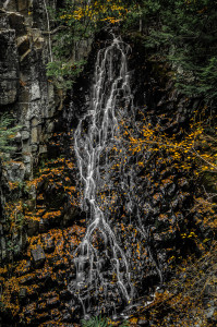
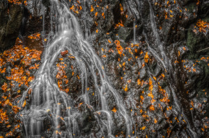
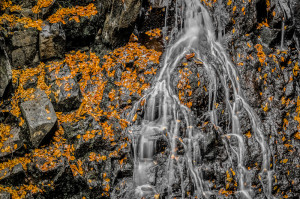
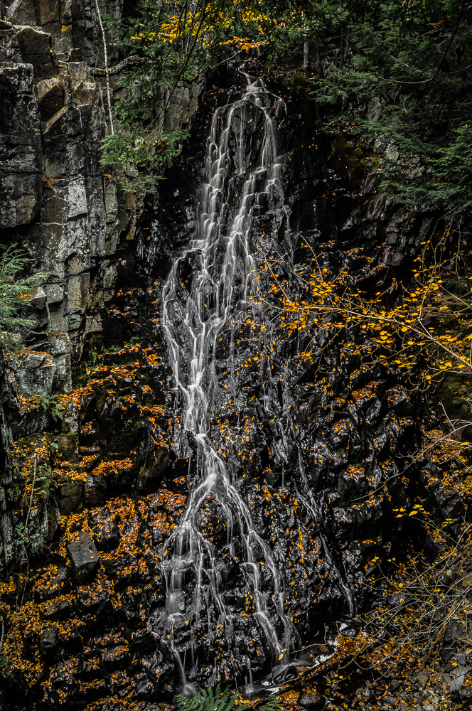
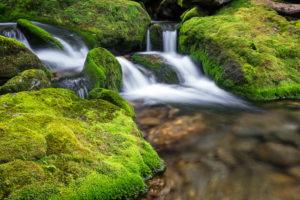
I didn’t have a lot of time on my hands the last time I was at this location so I did not go into the gorge. The shots posted are from the overlook at the top of the gorge. All of these shots were intended to be black and white, but when I began post processing them I was reminded of a photo of Small Falls that Tammy and I were given as a wedding gift from my aunt and uncle. I don’t remember the artist, but he was very popular a few decades back. He would take black and white photos of a location (the only option at the time if this give you any indication of how long ago this was) and hand colored them. To approximate the same look, I desaturated all colors. I then added back in a small amount of green and yellow, while cranking up the orange.
This photo has minimal processing other than the description above:
This next photo is the combination of 2 bracketed photos one f-stop apart using Luminance HDR to achieve a higher dynamic range, then processed similar to the above photo.
The last is from 3 photos bracketed one f-stop apart that I individually processed like the original file. I then combined the results for a higher dynamic range using the Lightroom ‘Merge to 32-bit HDR’ plugin from Photomatix. This process is similar to the above photo with the exception that the files were processed individually first, then combined instead of combined first and processing the result.

Laurie
24 Apr 20224/23/22 Not a bad hike. Starts off a little confusing on where the trail is. Small pull off the road, enough for 2 cars. Other had parked on the side of the road. Trail is not bad, watch for roots and rocks sticking up. The falls were flowing pretty good. We walked down both sides. Best views were going on the path to the left of the stream. I wonder what it looks like in the winter.