Revisiting Dunn Notch – Andover
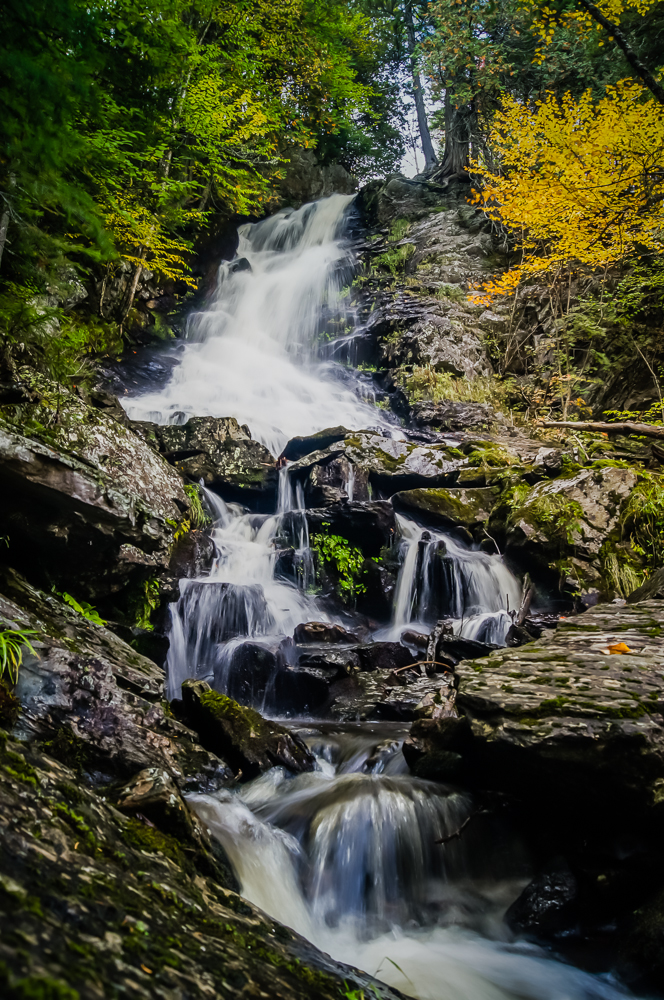
As you have probably noticed, the bulk of my pictures that I post contain water. I find water interesting in that no matter how many times I go to a location, it is always different. The water level may be higher or lower, the tide may be high or low, the lighting or the surrounding colors may be different. Dunn Notch was no exception. I headed back to this location in late September as the foliage was beginning to change in the higher elevations. There was also a lot of water flowing as we had just come off from a couple of rainy days.
Getting There
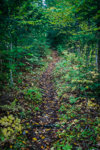
Dunn Notch is about a mile South on the Appalachian trail where it intersects with the East B Hill Road between Andover and Upton, Maine. The trail immediately crosses a small stream just after the road crossing. There is a blue blazed trail to the left just before the stream crossing. This trail follows the stream and provides access to many waterfalls and cascades. It also meets up with the Appalachian trail at Dunn Notch so makes for a good loop whether beginning or returning on this trail. I chose to begin here and hike in a generally clockwise route.
Slowing Down
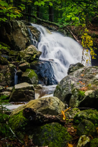
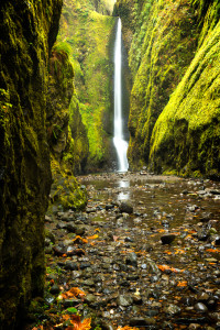
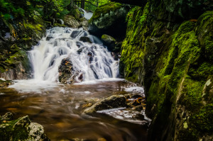
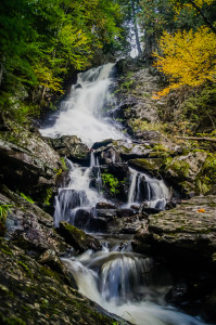
What I’ve noticed recently about myself is that once I have a destination to hike and do some photo shoots my mind starts filling up with too many options. This generally gets me rushing from spot to spot, especially when I am familiar with my destination. I’m trying to slow down more and take in what’s around me in more detail. I was conscious of this on this day and slowed down to explore places on the stream that either looked inaccessible or looked uninteresting. What I found was a beautiful gorge and waterfall that I had never seen on this stream and I’ve been coming here for the better part of 20 years! It’s the second photo below.
The Notch
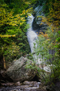
The blue blazed trail eventually intersects with the main stream coming out of the notch and heads steeply up the notch wall on an old carriage road. Before heading up this trail, follow the blazes along the left side of the stream to reach the bottom of the lower falls. This main drop is spectacular regardless of water level. This day the falls were full bore and could be heard crashing down the gorge from a long ways away.
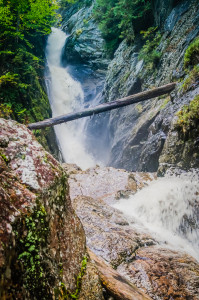
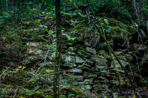
To get to the upper notch, backtrack down the stream and head up the remains of the carriage road on the left side of the notch. There is a lot of old stonework still supporting the carriage road and it narrows to only a few feet wide in places with steep drop offs into the notch on the right side.
The upper portion of the notch is every bit as spectacular as the lower. The blue blazed trail along the carriage road intersects the Appalachian trail on the South side of the stream. Crossing over the stream the head of the lower falls is directly on your right with steep drop offs. Be careful here in high water. Once on the North side of the stream another blue blazed trail follows the stream to the middle and upper falls approximately .25 miles upstream. The middle falls are an interesting single drop into a large pool. I’ve seen hikers here many times swimming. Further upstream are the upper falls which are not to be missed!
After enjoying the notch you can head North on the Appalachian Trail, completing the loop back at the East B. Hill Road.

